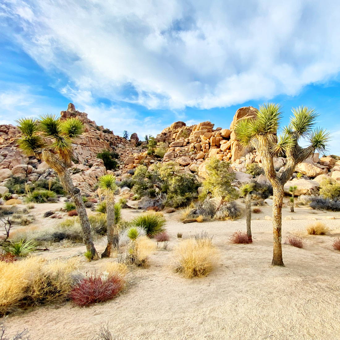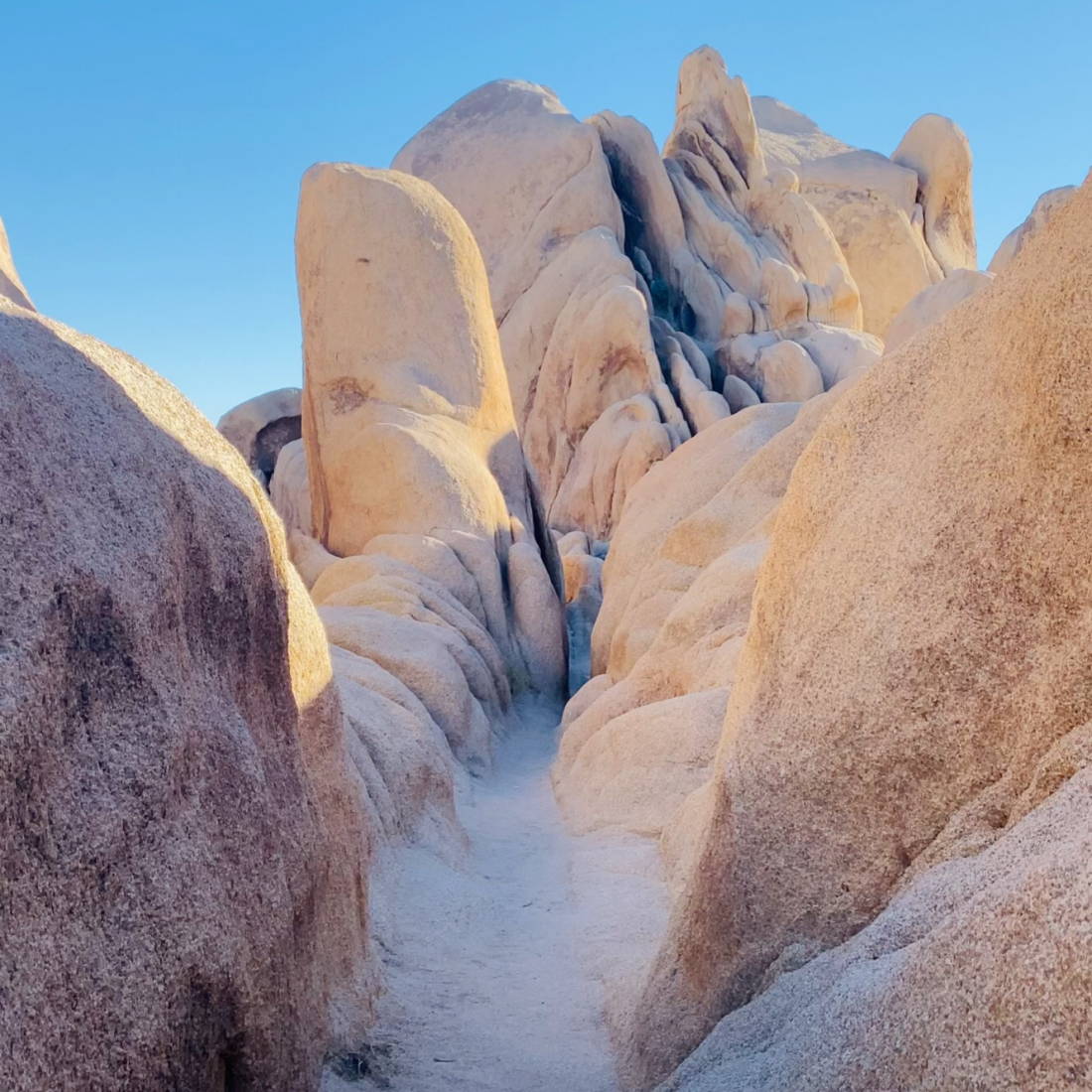
Joshua Tree National Park, California. Cap Rock, Hidden Valley, 49 Palms Oasis, Arch Rock Area
Photo Credit (All): Nina Ruud
Virtual Travel Series: Take Me to Joshua Tree
By: Nina Ruud, San Diego, CA
With most of our country being under lock down from COVID-19, we decided it was time for a Virtual Travel Series! California is home to millions of magical wonders, and we are here to show you them from the comforts of your home! Disclaimer: We do not recommend travel at this time, however save these articles for inspiration for when the time is right to do so!
Joshua Tree National Park
Josh Tree National Park consists of almost 800,000 acres and was established as a National Park in 1994. Just a few short hours drive from Los Angeles and San Diego, it's a wonderful respite from metropolitan life in Southern California. With nearly 3 million visitors per year, it's also a popular international destination, perfect for seasoned rock climbers, hikers and outdoor enthusiasts.
Despite this proximity to major cities, Joshua Tree should not be underestimated. Most Campgrounds do not offer water or electricity, and every year people die or become ill from the high summer temperatures and dehydration. Prior to visiting the park, please make sure you have enough water for at least one gallon per day per person. Stick to the trails and don't travel alone. It may seem like a grand idea to venture out into the vast expansiveness of Joshua Tree. But this is the Mojave Desert, conditions can change quickly, and a minor variation off of the trail can leave even seasoned hikers dangerously lost.
With great risk comes great reward. Taking a planned and well-prepared trip to Joshua Tree will ensure an incredible experience with memories lasting a lifetime. The park is filled with hundreds of miles of trails, with dozens of options for beginner and intermediate hikers. If you aren't familiar with desert heat, be sure to visit October-April, and bring warm layers in the winter months. Be sure to check weather conditions before entering the park and take extra note of any anticipated precipitation. Even a 1/2 inch of rain can trigger a mudslide!
Before we get started, another important thing you need to know: There is little to NO cell service once in the park. The park issues maps at all the entrances, however they are not very detailed and many trails aren't shown. If you know you want to do a specific hike less traveled, be sure to print or purchase ample maps of the area beyond the standard park map.
Pack Your Backpack:
- Polarized UV400 Sunglasses
- Hat with 360 Degree Coverage
- SPF 30+ Sunscreen
- Compass
- Headlamp (even for daytime hikes, just in case!)
- Detailed Maps of Areas You Want to Explore
- Food + Extra Food!
- Small First Aid Kit
- Water (At Least 1 Gallon Per Person Per Day)
- Extra Layer of Clothing
- Whistle
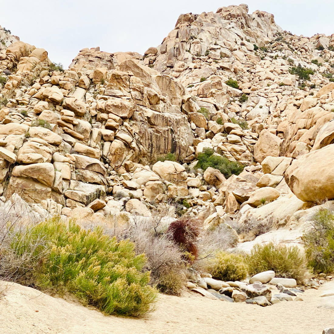
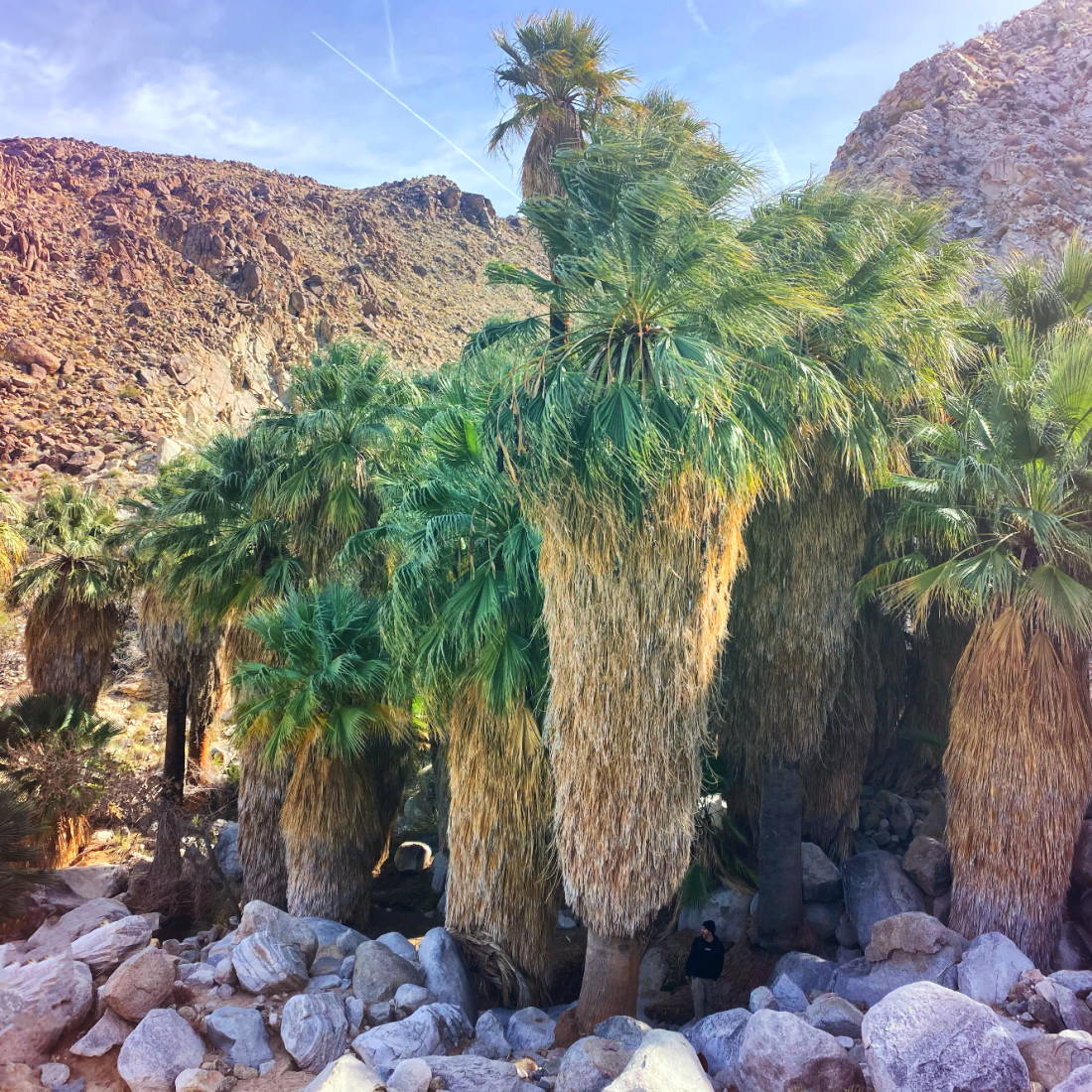
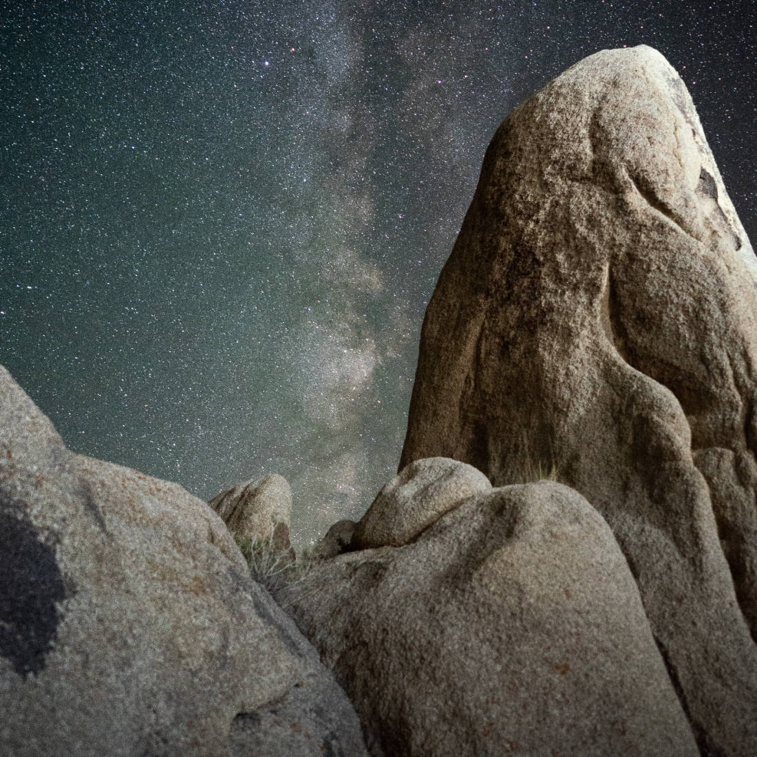
Rattlesnake Canyon, 49 Palms Desert Oasis, Arch Rock at Night
Photo Credit: Nina Ruud, Brent Cox
Hiking Joshua Tree
You don't have to be an avid hiker to enjoy the beauty of Joshua Tree! In fact, when visiting you'll see lots of families with small children exploring. Be sure to follow park guidelines, stay on trails, and be prepared. Here are some tips for enjoying Joshua Tree and other desert landscapes safely:
- Before you go, notify a family member or close friend about your plans, how long you are going to be staying, and who you are going with. In the case of an emergency you won't have cell service, so it's crucial you communicate with someone outside of the park before you come
- If you require medication, bring extra
- Check the weather
- Stick together with your group while hiking
- Bring whistles in case you get injured or lost
- Eat salty snacks + drink plenty of water
- Wear sturdy shoes and bring ample sun coverage (Check the backpack list near the top of the page)
- Recognize signs of heat-related illness
Artists' Palette, Natural Bridge, Mosaic Canyon
Photo Credit: Nina Ruud
"The western horizon is dominated by the rugged peaks of the Sierra Nevada range, including Mount Whitney, the highest point in the contiguous United States at 14,505 ft. Immediately to the east lies the lowest point, Badwater Basin at -282 ft. It's a very curious sensation to see the two extremes from one vantage point."
-Roger Naylor, Death Valley: Hottest Place on Earth
Mosaic Canyon
A stroll through the colorful slot canyon known as Mosaic Canyon was recommended to me by a local at the Panamint Springs store. He said it was his favorite hike and it didn't take long to see why.
Mosaic Canyon Trailhead is located across Highway 190 from the Mesquite Sand Dunes. There's a 2 mile dirt road heading south to a parking lot. I went in the morning which was perfect as it was cool and the sun created very distinct and dramatic highlights on the walls of the canyons. This is not the most difficult hike in the park, but it can get challenging scrambling up large boulders as you move deeper into the canyon.
Devil's Golf Course
Most Golf Courses I've been to feature acres of freshly watered greens and a clubhouse with a variety of cold beers and sandwich options. The Devil's Golf Course is no such thing. It's an otherworldly terrain, a texture you imagine being draped around a baron moon. Tread carefully, you are allowed to walk anywhere but it's highly recommended to stay close to the parking lot and wear sturdy shoes. The salt floor is so rugged, a simple fall could result in a broken bone.
Artist's Palette
Take the Artist's Drive for a twisting turning one-way road through brightly mineral colored mountains. Both easy and slightly-challenging trails can be found here, winding you through a unique mosaic of colors depending on what time of day you arrive. I highly recommend the late afternoon as the suns rays enhance the colors and give it an almost Dr. Seuss sort of experience!
Badwater Basin
Come and stand at the lowest point in North America! At 282 feet below sea level, the ground is 95% pure table salt covering around 200 square miles. If it's your first time, you are guaranteed to find something you have never seen or experienced before!
Zabriskie Point
Walking up to the paved path to view Zabriskie Point, my eyes filled up with tears. It was sunset, and the view I was about to indulge in was completely unexpected. I literally could not believe my own eyes. Sunsets at Zabriskie are a must see if you visit Death Valley. The reflection of the sun before it sets behind the Panamint Mountains blatantly reflects the Red Cathedrals and Golden Canyons that make up Zabriskie.
Mesquite Flat San Dunes
Lockdown
At the time of writing this, Death Valley is a part of the state-wide lockdown, so we do discourage travel here at this time. But please save this article when it is safe to travel again.
About the Author
Always choosing the scenic route, Nina is an artist, adventurer and humanitarian. She's worked with underserved children in Mexico and the Philippines as a Certified Pediatric Massage Therapist. She is also an Entrepreneur, joining her husband Rafael in 2015 to build Cali Life Co., together designing and selling sunglasses by the seashore in San Diego.

